

The Twinbly
story.
Berk and Larry wanted a better way to explore places in 3D. Twinbly grew out of the tools they kept having to build along the way.
Out in the field.
Rock Garden’s capture days,
from desert cliffs to snowy peaks.
Long Canyon, Snow Canyon, and Snowbird; flying at Indian Creek; a day out with the crew at Red Rock Canyon.
Browse photos and drone footage by place on the Legend Guide map.
Rock Garden, in motion.
A 3D view of Sentinel, with climbing routes drawn onto the rock. A 22-second excerpt from the original app recording.
It started with climbing.
Before Twinbly, Berk Frei worked in tech as a marketing executive. Then he discovered drones and photogrammetry—the idea that a collection of photographs could become a place to explore.
From 3D printing to capturing whole landscapes, he kept finding things he wanted to try.
Climbing gave that curiosity a purpose: seeing a cliff, understanding a route, and exploring a place before getting there. In 2020, Berk left his job, learned to code, and made it his full-time pursuit.
Rock Garden, a climbing app, was where he began putting those ideas to work.
A lot of building
along the way.
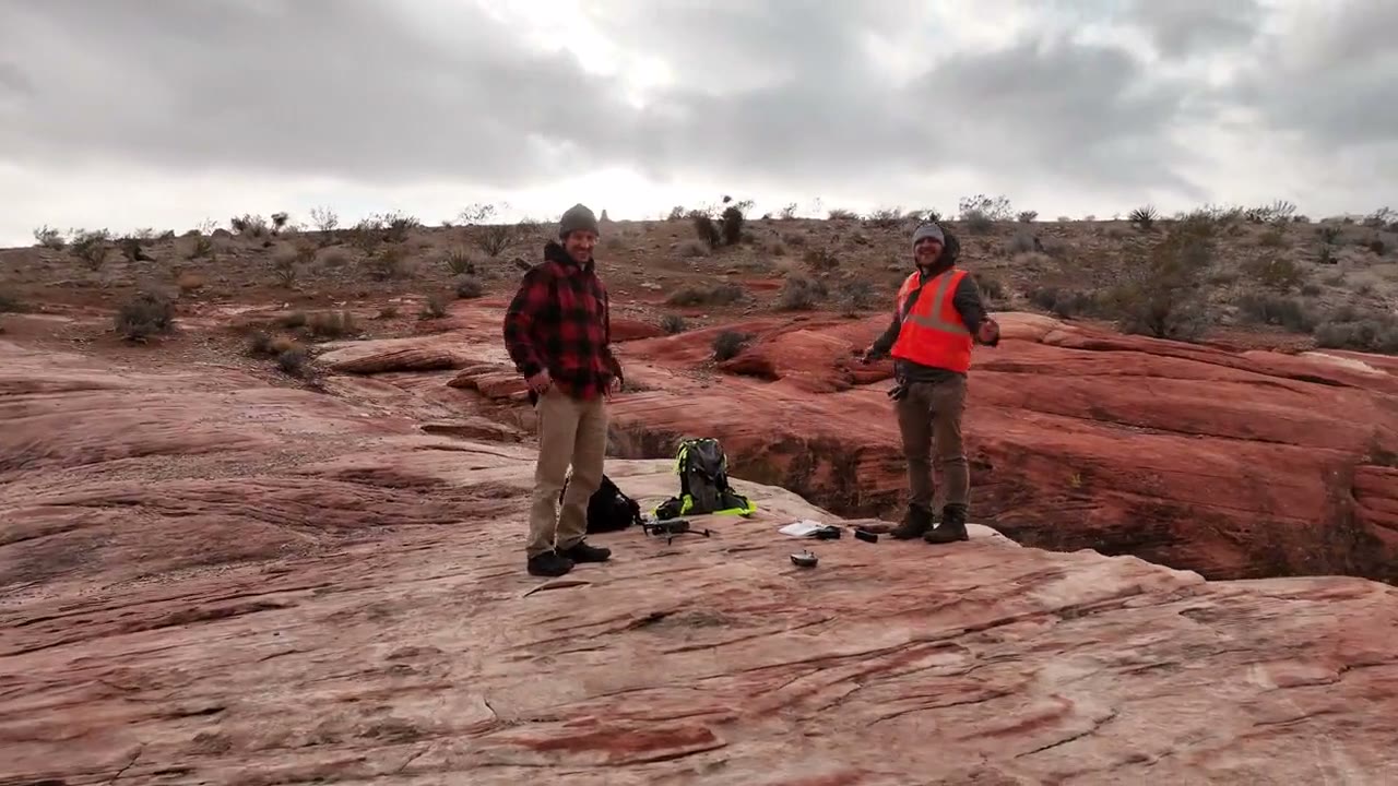
Larry Dalton saw what Berk was doing with Rock Garden and wanted in. Climbing was his passion too, and he believed in what better spatial data could do for it. As COO, Larry helped lead the data capture team and built relationships with businesses and ski resorts. Berk led the technical work.
The work grew toward Legend Guide: bringing 3D places, maps, routes, and local knowledge together to help people understand a place and find their way through it.
Berk built an early system to load detail as someone moved through a scene, then began learning about geographic information systems. He followed NeRFs and Gaussian splats as they emerged. Tools like Luma helped show what was possible. He built a system to load splats in Unity, and the team brought that work into guides for Sundance and Powder Mountain.
But making a guide meant connecting a lot of separate tools. Capturing a place, processing it, delivering the detail, and putting it into an application were all problems to solve. When tools they depended on changed direction, there was more building to do.
Building with 3D photos kept meaning building the infrastructure first.
A platform
of its own.
With Larry’s backing, Berk started building Twinbly as a business of its own: the platform they had needed, with a purpose beyond any one climbing app or outdoor guide.
The aim was straightforward: bring in photos or video, make a 3D scene, work on it in a browser, and share it. People shouldn’t have to become 3D specialists just to make something useful.
Those same building blocks could also help the next entrepreneur with an idea for 3D photos. A climbing guide was their starting point. Someone else might have an entirely different use in mind.
That’s why Twinbly has both a hands-on web experience and an API, with AI tools and workflows in mind. It lets people focus on the experience they want to create, without first having to build and run the processing infrastructure behind it.
From the cliff to a place you can explore.
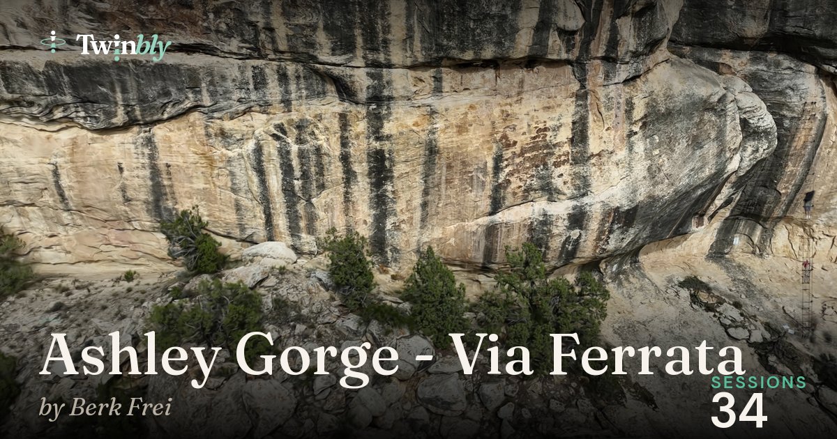
Out with Berk at Ashley Gorge, capturing for Legend Guide.
The overview,
then the details.
Berk explains the plan: capture the landscape, walk the route, and find the cliff faces to come back for in more detail.
Read the transcript
All right, I’m at Ashley Gorge. I’ve been filming all morning. I eventually had to go in and warm up. It was cold and it gave me a chance to adjust the flight mission. And I’m about 30% done with this new mission. I think it’s going to do a pretty good overview, but I’m going to want to get on route today and figure out what the course actually is and what cliff faces I might want to come back to tomorrow and get with higher level of detail. So today is about the overview and then some recon.
Getting to know
the route.
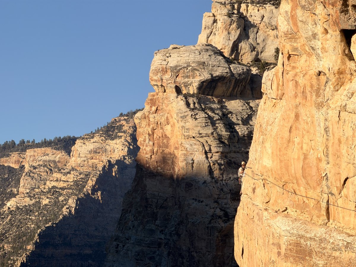
A view from above is one part of the story. Being on the wall reveals the route, the exposure, and the details people will want to see.
Back on the cliff,
ready to capture.
The next day: the drone, the controller, and the real place below. Two short clips from the capture.
Setting up the drone on the rock, with the gorge below. No spoken dialogue.
Now, explore it for yourself.
The finished Ashley Gorge scene. The same 3D place can be explored in Twinbly or embedded in another website.
Still connected to
the places that started it.
Legend Guide is one of the products using Twinbly. Having that foundation has given Berk and Larry fresh momentum to keep working on the outdoor navigation problems that brought them together.
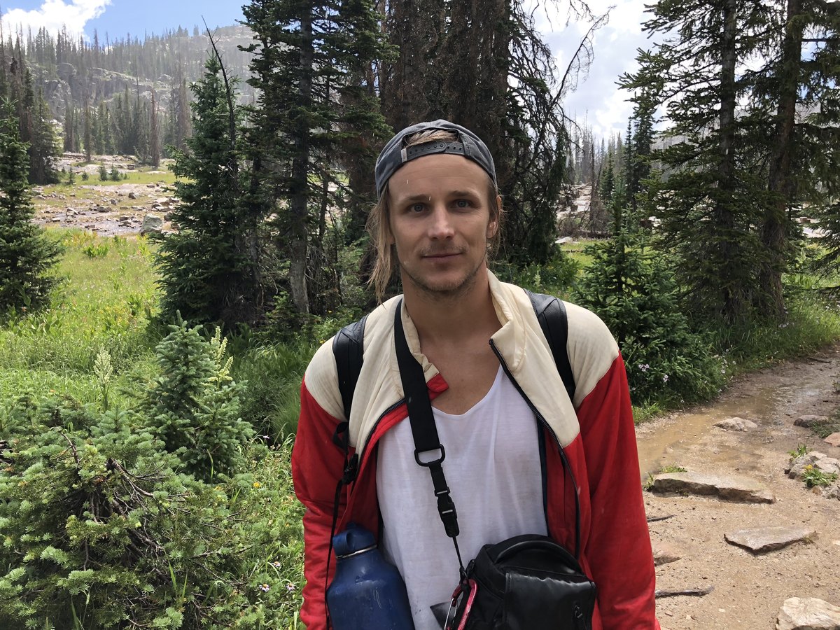
Out with the drone, years before Twinbly.
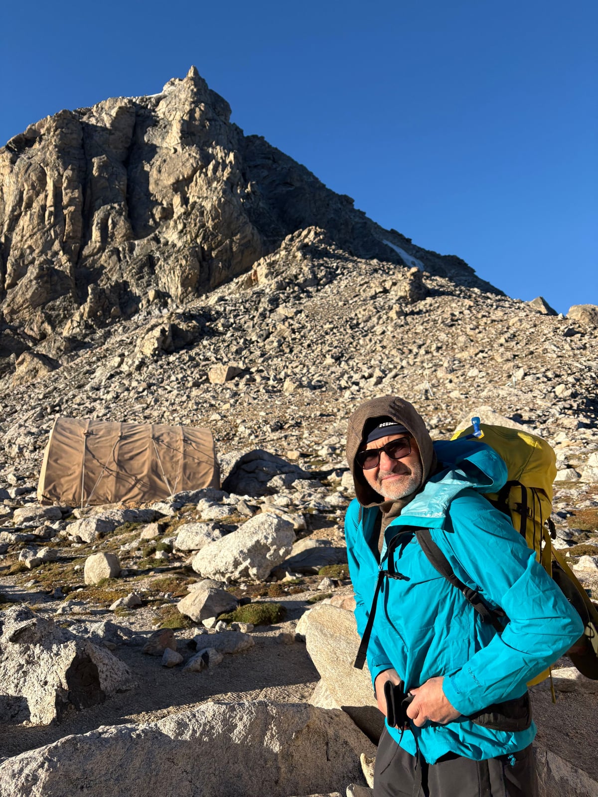
On the trip to climb the Grand.
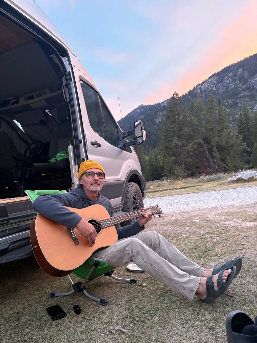
Tetons · August 2026
Once a year, somewhere outside.
They work in different cities, so Berk and Larry try to meet up once a year to talk shop while doing something they love. In 2025, that meant surfing in San Diego. In August 2026, it meant a trip to climb the Grand Teton.
Naturally, they made a few Twinblys along the way—including a capture of The Enclosure.
Twinbly grew from a need they knew firsthand. The hope is that it helps other people build something they care about, too.